Mixed bag weekend; why meteorologists ‘show their stripes’ on summer solstice
Wind. Clouds. Sun. Rain.
We can expect a little bit of everything this weekend. Diffuse and loosely organized low-pressure cells bring a mixed bag of weather this weekend. Rainfall looks a little more spotty than it did Thursday.
We may escape with a mostly dry Friday night and Saturday. Rain and thunder coverage increases late Saturday through Monday.
And there are still signs that true summer heat and humidity arrive next week.
Create a More Connected Minnesota
MPR News is your trusted resource for the news you need. With your support, MPR News brings accessible, courageous journalism and authentic conversation to everyone - free of paywalls and barriers. Your gift makes a difference.
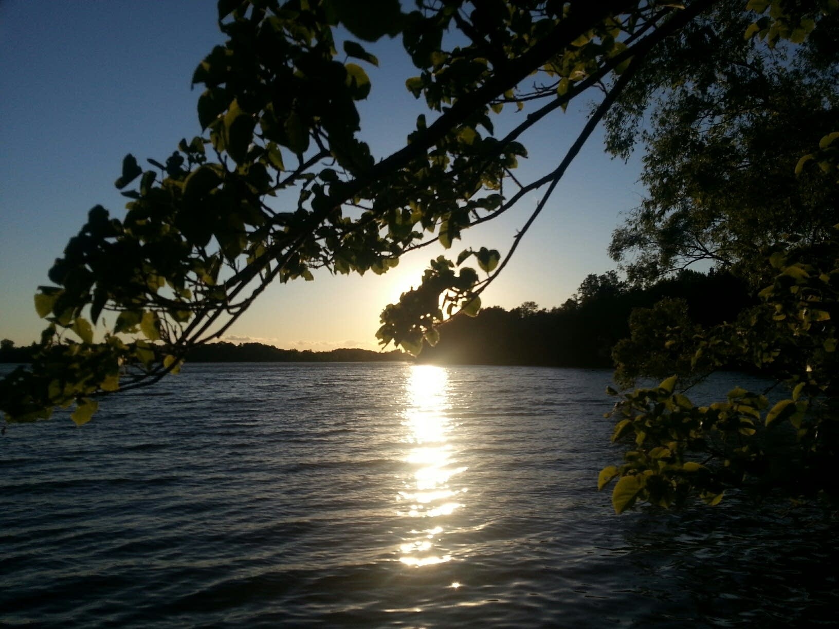
Finally.
Complex cloud montage
Friday's GOES-16 visible satellite loop shows a complex cloud pattern across Minnesota. A mix of high and low-level clouds moving in different directions.
Low-level winds blowing from the southeast push the low clouds toward the northwest. Higher cirrus patches jet northeast on upper-wind flow. Thunderstorm clusters erupt in the Dakotas. Weather chaos.
Expect similar cloud pattern this weekend with sunny breaks followed by cloudy periods as this unorganized low-pressure system spins nearby.

Chaotic rainfall patterns
It's hard for forecast models to precisely capture the chaotic rainfall pattern this weekend. The National Oceanic and Atmospheric Administration's Global Forecast System seems to have the trend right.
Lesser coverage Friday night and Saturday, with more widespread rains later Saturday into Sunday and Monday. We'll see.

Around an inch
Most models cluster around an inch for rainfall through Monday. Local totals to 2 inches-plus still appear possible. Multi-inch rainfall totals in Iowa will likely exacerbate flood woes.

Summer next week
The upper-air pattern and forecast output still blows significantly warmer and more humid air north into Minnesota starting next week. The big western heat dome shows signs of nudging north.

Highs in the upper 80s, to near 90 are likely across much of Minnesota by late next week. Cooler by the big lake, of course.

Showing our stripes
Meteorologists across the globe are showing our stripes Friday.
The yearly blue to red colored stripes graphics illustrate how much the globe has warmed during the industrial revolution. Click on the links below in my tweet and you can see that data down to the state and even county level.