Free AC: Cooler breezes, scattered showers through midweek
It's a classic early summer Minnesota sky today. Shallow cumulus clouds are puffing up a blue sky.

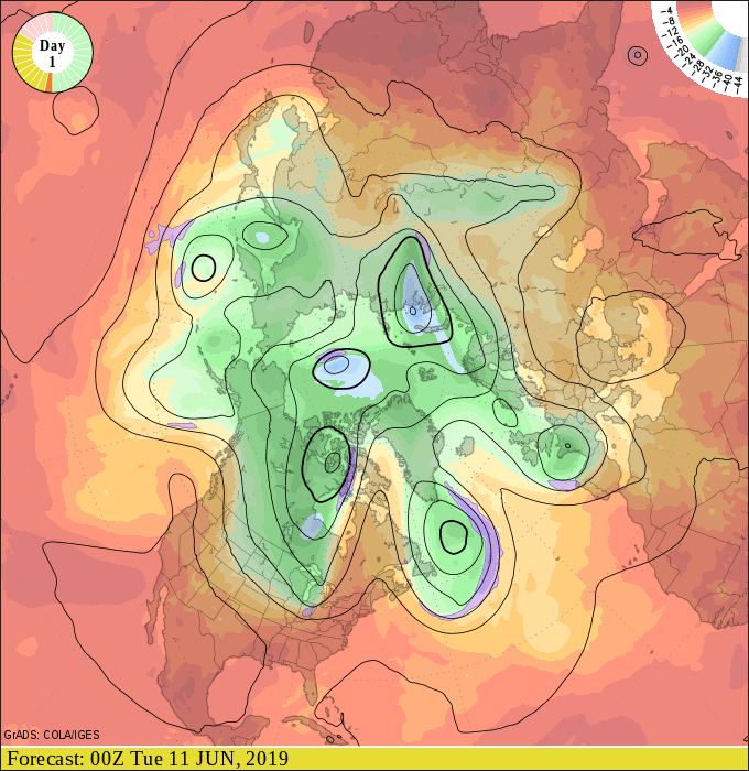
Northwest flow
Our weather pattern features a northwest flow aloft this week.
That means cooler breezes this week. Daytime high temperatures hover in the 60s and 70s. Early morning lows dip into the 40s and 50s.
Create a More Connected Minnesota
MPR News is your trusted resource for the news you need. With your support, MPR News brings accessible, courageous journalism and authentic conversation to everyone - free of paywalls and barriers. Your gift makes a difference.
Good sleeping weather.
Temperatures rebound this weekend into next week.

Scattered T-Showers Tuesday
A weak low-pressure system spins through southern Minnesota Tuesday. It's strong enough to trigger more concentrated T-Showers from Tuesday afternoon into early Wednesday.

NOAA's Storm prediction center thinks a few storms could be marginally severe in the eastern Dakotas and western Minnesota Tuesday.
