Gradually milder this week; odds of a brown Christmas growing?
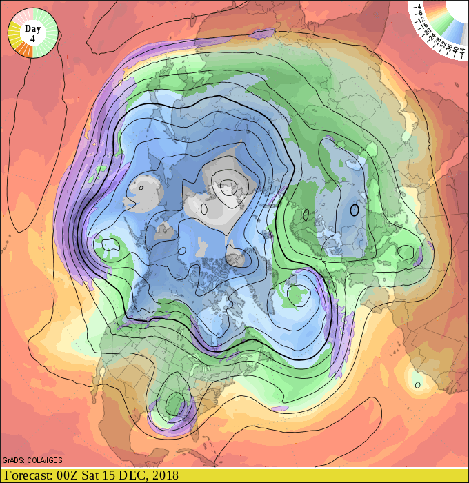
Our slow-motion warming trend continues this week. Milder Pacific air blows into Minnesota as the week rolls on.

Thawing out
High temperatures above freezing will cover most of Minnesota by the end of the week. And there are signs the milder than average air will last into next week. Right now, I don't see any subzero cold snaps in sight for the next one to two weeks.

Snow Drought
Create a More Connected Minnesota
MPR News is your trusted resource for the news you need. With your support, MPR News brings accessible, courageous journalism and authentic conversation to everyone - free of paywalls and barriers. Your gift makes a difference.
Bare ground covers a good chunk of central Minnesota these days. NASA's MODIS 1,000-meter resolution shot shows the lack of snow cover in central Minnesota from space.

Here's the latest snow cover map from the Minnesota Department of Natural Resources:
Brown Christmas?
Right now the major models do not support significant snowfall in the next one to two weeks. That could change with any new model run that far out.
The National Oceanic and Atmospheric Administration's Global Forecast System model total snowfall through Dec. 2o suggests maybe a couple inches, at best, for parts of Minnesota.

Historically, the Twin Cities sees a white Christmas (at least 1-inch of snow cover) 71 percent of years. The odds are closer to 100-percent across northern Minnesota.
Unless the weather maps spin up a storm, this may be one of those 1 in 4 or 5 years on average with a brown Christmas for parts of central Minnesota, and maybe even parts of the Twin Cities.
Stay tuned.