Instant spring: 60s and 70s ahead, a shot at 80 next week?
Finally.
That light at the end of our long, dark, cold, damp Minnesota weather tunnel is the sun. Temperatures skyrocketed into the 60s under the strong early May sunshine. Many Minnesota towns are nearly 30 degrees warmer than just 24 hours ago.
Snow does a vanishing act
The sun angle and intensity over Minnesota is now equal to Aug. 9. The sheer force of solar radiation blasting Minnesota today was enough to spike temperatures, evaporate and melt the significant snow patch in southwestern Minnesota.
Create a More Connected Minnesota
MPR News is your trusted resource for the news you need. With your support, MPR News brings accessible, courageous journalism and authentic conversation to everyone - free of paywalls and barriers. Your gift makes a difference.
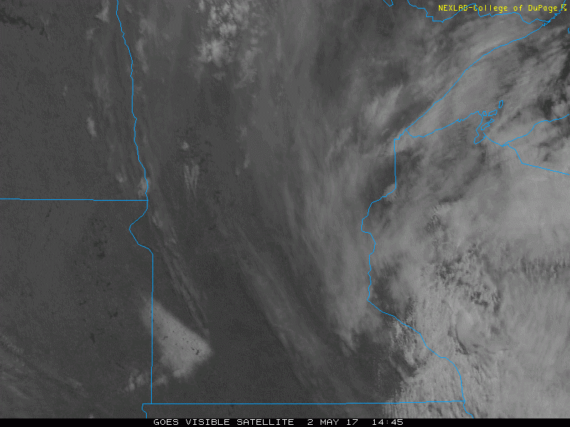
Watch the GOES 1 km visible satellite loop as the snow does a vanishing act.
Spotty showers Wednesday
The one minor fly in the otherwise sunny forecast for the next week? A minor low-pressure trough sailing through Minnesota Wednesday. Spotty hit or miss convective "pulse type" showers pop up across Minnesota Wednesday.
Overall rainfall looks light and spotty, but a passing shower with a clap of thunder is possible. The best odds for a Twin Cities thundershower billowing into the later afternoon sky is between 3 p.m. and 9 p.m. Severe weather is not expected.
Here's the National Oceanic and Atmospheric Administration's North American Mesoscale Forecast System 4 km model.

Warming trend continues
I'm beginning to think model forecast temps may be slightly conservative in the next week over Minnesota. NOAA's National Digital Forecast Database cranks out highs in the mid 60s for Minneapolis-St. Paul.

70s and 80s next week?
This more stable and extended warming trend marks a significant pattern change for the milder and drier over the next week. I'm seeing data that supports temps near 70 this weekend, and well into the 70s next week.
The European Centre for Medium-Range Weather Forecasts model cranks out 77 degrees for the Twin Cities next Tuesday. The European model projects a blocking pattern that will keep the coasts chilly and wet. Minnesota rides the warm bubble of air in the middle of the block.
Meanwhile, NOAA's Global Forecast System model suggests 80s in southwestern Minnesota, brushing the southwestern Twin Cities next Wednesday.
Where's the nearest beach?

Flooding continues in Missouri
Rising waters near St. Louis will set new flood of record.
Watching the Larsen C Ice Shelf
Avalanche in motion
Wind energy revolution continues