And so it begins: Heavy snow likely up north Friday
The end is finally in sight for our seemingly eternal autumn. Maybe the Supermoon gave the weather maps a kick in the Doppler.
Minnesota basks in 3 more unseasonably mild days before the winter weather door slams shut Friday and Saturday. The first significant wintry storm of the season is likely to bring heavy accumulating snow to northern Minnesota and the first flakes of the year to the metro.

Significant snowfall up north?
You knew it would happen eventually. Right now it looks like the heaviest snowfall will be in northwest and north-central Minnesota. Talk about good timing for winter weather awareness week in Minnesota.
Create a More Connected Minnesota
MPR News is your trusted resource for the news you need. With your support, MPR News brings accessible, courageous journalism and authentic conversation to everyone - free of paywalls and barriers. Your gift makes a difference.
Yes, it's still too early to pin down snowfall totals now but many models are cranking out early projections of one, even two feet of snow in the Red River Valley and northwest Minnesota. Early forecasts may (or may not) may be overdone on eventual snowfall totals, but odds of a heavy snowfall event are growing fast for northwest Minnesota Friday into Saturday.
The potential for one to two feet along a Fargo to Baudette line? Here's NOAA's GFS model.

The European model brings the center of a powerful low pressure storm a little further south, closer to the Twin Cities Friday morning.
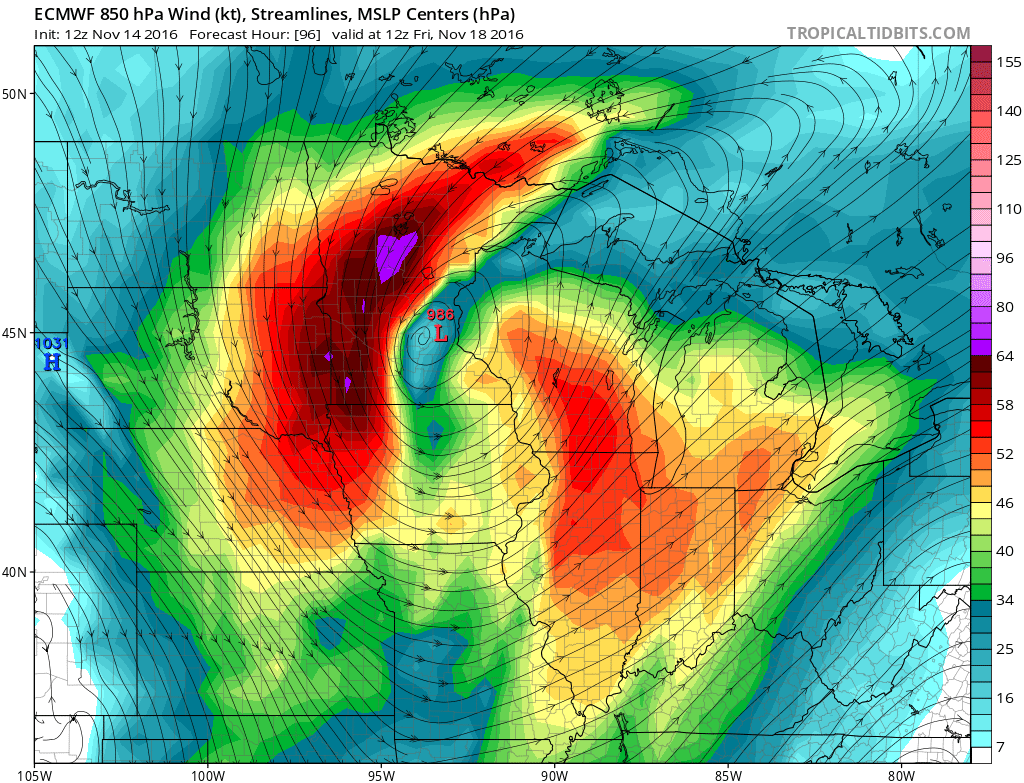
If the system stays on or close to the current forecast track, the Twin Cities will see mostly cold rain that may end as some wet snowflakes. As we say in the weather biz, stay tuned.
Mild for now
In the short term, Minnesota basks in continued mild weather as Friday's storm gathers to the west.

Temperatures in the Twin Cities push 60 degrees once again Tuesday afternoon. Rain and cooler temps hit Friday before the wintry bast Saturday.

Record growing season ends this weekend
Monday was day 216 of the still in progress longest growing season on record in the Twin Cities. It looks like our freeze-free season at MSP will reach 221 days before the weekend freeze. In case you're wondering, that's an average growing season for I-35 somewhere between Dallas and Oklahoma City, not Minneapolis.
The 15-day temperature output cranks out temperatures mostly in the 30s starting this weekend. That's a good 25 degrees colder, but still near average. The average high at MSP on Sunday is 38 degrees.

Stay tuned.