Brisk winds add chill to moderating temperatures
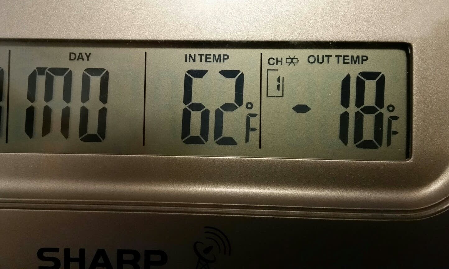
My backyard thermometer in the southwest metro dropped to 18 below zero this morning, my coldest reading of the winter season.
Temperatures will begin to recover from daybreak readings of 10 to 25 below over Minnesota, but increasing southwest winds will keep wind chill readings between 20 and 30 below zero through this morning.

This surface weather map forecast from the National Oceanic and Atmospheric Administration's Rapid Update Cycle system shows the tightness of the isobars (lines of equal pressure) over Minnesota. The tighter the gradient of isobars, the stronger the winds. Temperatures and winds are also depicted for 3 p.m. today.

On Sunday morning wind chill readings were in the 30 to 40 below zero range over the upper Midwest. Temperatures remained below zero in northern Minnesota.
Create a More Connected Minnesota
MPR News is your trusted resource for the news you need. With your support, MPR News brings accessible, courageous journalism and authentic conversation to everyone - free of paywalls and barriers. Your gift makes a difference.
International Falls recorded a low of 29 degrees below zero on Sunday, tying the record on Feb. 22, 1914.

As the milder air advances east tonight an area of light snow is expected to develop, perhaps depositing up to an inch in some locations.

Tuesday will bring the mildest temperatures of the week, but again winds will add a chill as another cold front dives south.

Temperatures were well below normal over the Midwest and Great Lakes last week and below normal temperatures are forecast through the rest of the month.

And the snow drought continues for much of Minnesota. The Twin Cities has had only 4.6 inches of snow in February, with a total seasonal snowfall of 25 inches. Compare that with the 57 inches that had fallen by this date last winter season.
Lexington, Ky., has tallied 15.4 inches of snow this February!

Looking ahead, we see temperatures that are tolerable to begin the month of March.
