A brief respite, then arctic cold returns
Persistent southwest winds finally blew in milder air overnight. Temperatures climbed nicely into the 20s and even some low 30s in just about all of Minnesota during the dark hours.
Dress for less balmy weather as you head out the door, however. A Canadian cold front has been sweeping southeastward to plow that balminess toward Illinois.
As the front passes your location, notice the wind switch from southwest to northwest and pick up speed. In northwestern Minnesota where the front came through earlier in the night, winds have been gusting over 30 miles per hour in places such as Baudette. Temperatures in that area have fallen into the single digits.
The cold front has been triggering areas of snow, mostly rather light, across northern Minnesota and into east central parts of the state. Part of this southern band is crossing the metro area this morning as I type. National Weather Service radar is tracking it.
Create a More Connected Minnesota
MPR News is your trusted resource for the news you need. With your support, MPR News brings accessible, courageous journalism and authentic conversation to everyone - free of paywalls and barriers. Your gift makes a difference.
Behind the front, temperatures will remain steady or fall slowly during the daylight hours and then fall into unseasonable chilliness again overnight.

Lows tonight will range from 15 to 20 below in the north to zero to 10 above in the south. Wednesday's highs should stall around zero near Canada and about 15 near Iowa.
A minor storm will pass by to the southwest later tonight and into Wednesday. While snow will fall mainly in South Dakota and then Iowa, an inch or so is likely in the southwestern corner of Minnesota around Pipestone.

While we in Minnesota have been stuck in endless cold air episodes this month with occasional shots of light snow, the serious, heavy-duty storm track has been displaced way to the south. After two ice storms in the Tennessee area last week, the current storm is even farther south.
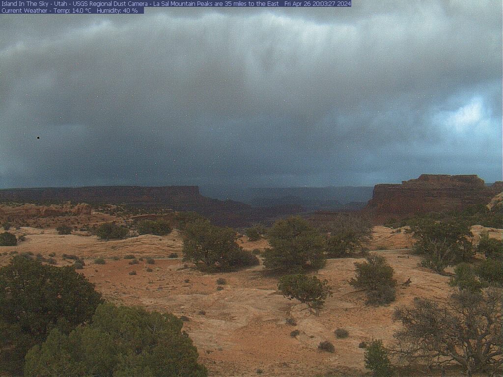
Snow fell yesterday in the Four Corners area of the Southwest including the deserts of Canyonlands National Park where the United States Geological Survey maintains a lovely web cam, often with dramatic views toward the east. It is best viewed at this link in the afternoon when the sun direction is favorable.

The Dallas-Fort Worth area got whacked with freezing rain and thunder sleet yesterday, and then the storm headed through Louisiana, Mississippi and Alabama. This morning the wintry weather is tracking through northern Georgia and into the Carolinas.

And yet another storm will be heading their way. Atmospheric energy from the Southwest will organize over Texas tonight. Advisories have been issued, including one for freezing rain just north of Houston.

Then the storm will just about follow today's storm across the Southeast. Mainly snow is forecast north of the dashed purple line while rain is forecast to its south.
