Midsummer classic: heat, humidity and thunderstorms
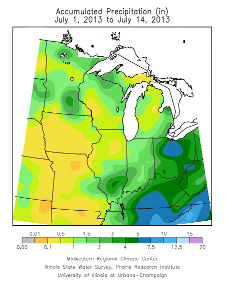
There has been a lot of talk about the heavy rain in some locations of Minnesota over the weekend. It is probably fair to point out that many places missed out on the more than generous rains.
St. Cloud, Stillwater and Woodbury tallied less than a third of an inch of rain. Meanwhile Patti from Savage, Minn. checked in with more than 7 inches of rain on Saturday morning.

Most of Iowa and Missouri have missed out on midsummer rainfall.
[image]
Create a More Connected Minnesota
MPR News is your trusted resource for the news you need. With your support, MPR News brings accessible, courageous journalism and authentic conversation to everyone - free of paywalls and barriers. Your gift makes a difference.
Cloud cover extended through parts of central Minnesota Monday afternoon, keeping temperatures down, but dew points up.

The warmest temperatures late this afternoon were 90F in Winona and Red Wing in southeast Minnesota.
Surface temperature (red) and dew points (green) for the region at 3:30 p.m. CDT. Click the image to enlarge.

I was recently asked about the difference between relative humidity and dew point. Meteorologists often show both readings on their weathercast.
When I first started with the National Weather Service in Milwaukee in the summer of 1972 as an observer, we would measure the wet bulb temperature and convert the wet bulb reading to the dew point using a psychrometric formula.
Here's an image of a sling we'd spin to measure the air temperature and the wet bulb temperature.

Read the details of measuring the wet bulb temperature. We would wet the sock before giving the sling the fling and watch the temperature drop as the air cooled from evaporation.
The dew point is the temperature to which the air must be cooled to reach saturation. When the dew point is high, you'll notice the glass holding your drink sweat the moisture into the air.
Relative humidity often changes diurnally as the air mass remains static. As the ambient air temperature cools overnight the relative humidity climbs, Mother Nature is cooling the air toward the dew point. You probably noticed the heavy dew this morning.
[image]
Temperatures are likely to climb a couple degrees warmer on Tuesday and Wednesday. The most sultry day looks to come on Thursday right ahead of an advancing cold front.

The ultraviolet index (valuable to discern sunburn time) will be high Tuesday.

The NAM forecast for Wednesday afternoon paints hot temperatures in the lower 90s through central Minnesota.

It appears the National Oceanic and Atmospheric Administration medium-range forecast for next week has backed off the cooler air over our region. Temperatures will likely recover well into the 80s.
