Clipper brings snow: 2010 warmest on record, again!

Thursday weather headlines:
First "micro clipper" arrives: Light snow is falling around much of Minnesota with this latest system. Expect a coating to an inch in the metro, with the potential for 1" to 2" in the northern half of Minnesota today.
-Latest Twin Cities radar loop
Create a More Connected Minnesota
MPR News is your trusted resource for the news you need. With your support, MPR News brings accessible, courageous journalism and authentic conversation to everyone - free of paywalls and barriers. Your gift makes a difference.
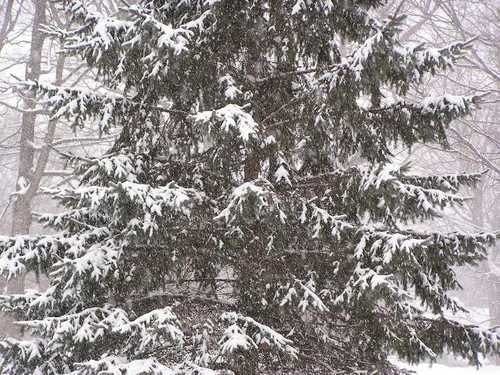
Snow returns to the Weather Lab Thursday morning.(Photo by Paul Huttner. Click to enlarge)
Next Clipper Friday: Clipper #2 is on track for Friday night. This one may be a little stronger...with the potential for 1" to 2" of snow Friday night.
Increasingly arctic next week: The primary medium range forecast model (GFS) has been erratic with timing and magnitude of arctic air next week. The (often) more reliable ECMWF (European Model) is slamming a brief shot cold air into Minnesota next Wednesday. Some trends suggest -20 or colder with -30 possible in parts of the state next Wednesday morning.
I'm not convinced the models have arrived at the correct solution yet regarding the arctic outbreak, but I think it's safe to say next week will be increasingly arctic. Stay tuned.
NOAA: 2010 warmest year on record globally.
The numbers are in from NOAA's NCDC, and 2010 came in as the warmest year in the global surface temperature record.
The Arctic, Canada, western Russia and Africa were among the warmest areas in 2010.(Click to enlarge)
Here's the audio from NPR, and the report from NOAA.
"According to NOAA scientists, 2010 tied with 2005 as the warmest year of the global surface temperature record, beginning in 1880. This was the 34th consecutive year with global temperatures above the 20th century average. For the contiguous United States alone, the 2010 average annual temperature was above normal, resulting in the 23rd warmest year on record.
Combined global land and ocean annual surface temperatures for 2010 tied with 2005 as the warmest such period on record at 1.12 F (0.62 C) above the 20th century average. The range of confidence (to the 95 percent level) associated with the combined surface temperature is +/- 0.13 F (+/- 0.07 C).*"
According to the Global Historical Climatology Network, 2010 was the wettest year on record, in terms of global average precipitation. As with any year, precipitation patterns were highly variable from region to region.
There are some compelling aspects to the data for 2010.
Facts:
-2010 was the 34th consecutive year above the 20th century global average.
-The last cooler than average year globally was 1976.
-9 of the 10 warmest years globally have occurred since 2001.
-All 12 of the warmest years on record globally have occurred since 1997.
Commentary: These are remarkable numbers. In an "average" or "random" system you might expect that many (even half?) of the past 34 years would have featured colder than average temperatures.
Instead we've seen 34 consecutive "warm" years, and the 12 warmest years on record. This does not appear to be random. 2010 is yet another piece in the climate puzzle that suggests (proves?) that something is forcing the climate toward a warmer bias globally.
You may recall there was what turned out to be accurate evidence in late 2009 to suggest 2010 could be the warmest year on record. Check out my (much maligned) Updraft post here in October 2009 which highlighted the prospects for a warm 2010.
More interesting U.S. highlights for 2010 include:
-The most active tornado season in Minnesota history.
-Los Angeles set the all time hottest temperature on record with 113 degrees.
PH