
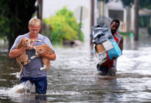
Ah, you got me again, newspeople and weatherpeople! A few months ago, when you warned about “major flooding” on the Mississippi River in the Twin Cities, I envisioned this:
Not this:
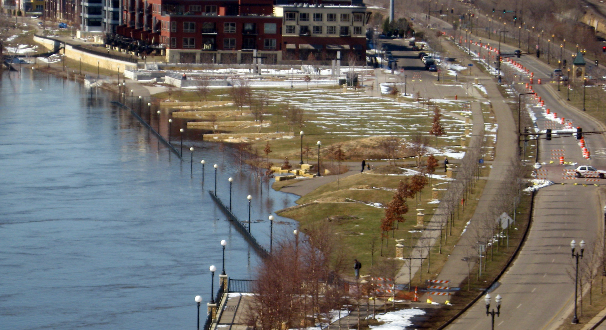
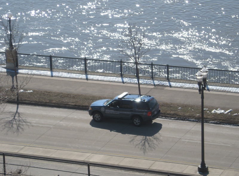
This is the bike path near the Science Museum where all of the TV reporters set up to document the drama of the major flooding. Rule of thumb: If a bike path underwater is the only visual element of a major flood, you don’t really have a major flood.
The Mississippi River crested this morning in Saint Paul at about 19 feet. That, according to the hydrologists at the National Weather Service, constitutes major flood stage. So when newscasters, as ours did this morning, report “the National Weather Service says major flooding is still occurring along the Mississippi in St. Paul,” he’s not wrong. That’s the categorization the NWS is using.
Here is the definition:
* Minor Flooding – minimal or no property damage, but possibly some public threat or inconvenience
* Moderate Flooding – some inundation of structures and roads near streams. Some evacuations of people and/or transfer of property to higher elevations are necessary.
* Major Flooding – extensive inundation of structures and roads. Significant evacuations of people and/or transfer of property to higher elevations.
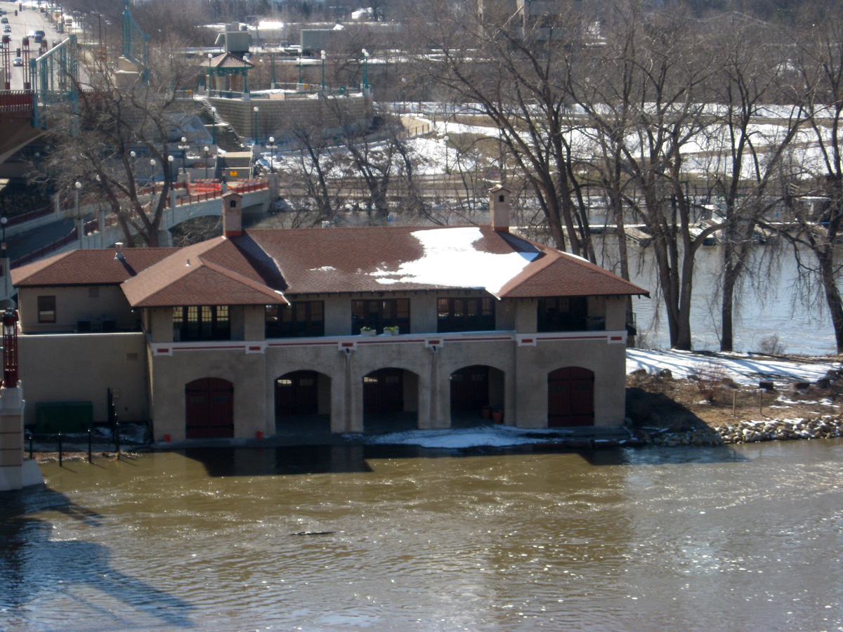
There are a few structures on Harriet Island taking on water. And some of the roads there are closed.
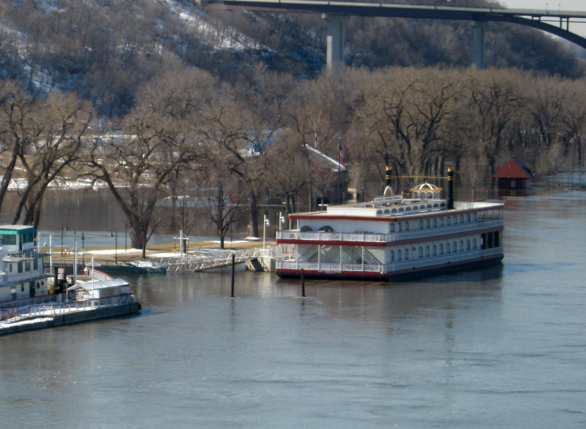
Buildings on Rasperry Island are still OK…
Several islands and low-lying parks are underwater, but nobody lives on them, and there are, as far as we know, no major — or minor — evacuations of people.
One section of Shepard/Warner Road is under water. It’s been closed to traffic for more than a week, and someone from the Ramsey County Department of Homeland Security is sitting on it to keep people away…
Closed roads, flooded parks, and impassable bike paths are certainly inconvenient, but did we overplay this thing? Originally the estimate was the river would hit 22 feet — that would be significant and, as I pointed out earlier this week, it’s difficult to estimate the height of a river from far enough out to be able to do anything about it. What if it had reached 22 feet and a temporary levee hadn’t been built, for example?
But we’ve been hearing for months, predictions that we’d experience “major flooding,” in this area and we — I — never accurately distinguished whether that meant “major flooding” as defined by the National Weather Service or “major flooding” as defined by the way many people hear that phrase — needing to carry cats down a flooded main street?
It’s an important distinction because next time officials and newspeople warn us to prepare for major flooding, we need to take it seriously if it’s major major flooding and not minor major flooding.