Stormy weather is brewing
The dry, sun-splashed weather that graced our weekend is now in the rearview mirror. Numerous showers and thunderstorms, some of them strong or even severe, will sweep across Minnesota this week.
Storms got a running start overnight in the Arrowhead. Duluth had a cold thunderstorm with a temperature of just 43. Early this morning, those storms are tracking off to the east across northernmost Wisconsin and Upper Michigan.

Storms coming today and tonight
The next round of thunderstorms has been brewing across South Dakota.
Create a More Connected Minnesota
MPR News is your trusted resource for the news you need. With your support, MPR News brings accessible, courageous journalism and authentic conversation to everyone - free of paywalls and barriers. Your gift makes a difference.

This large area of thunderstorms will advance eastward across western Minnesota this morning and likely reach the metro area by early this afternoon. Rain might be a bit spotty, but much of central and southern Minnesota will get wet. The northern third of the state should remain mostly dry today.

More storms will develop Monday night, first across southern Minnesota and then spreading northward. Conditions are coming together such that some of the storms across about the southern third of Minnesota might become severe today or tonight.
In fact, the National Oceanic and Atmospheric Administration's Storm Prediction Center has elevated the risk of severe weather to "enhanced" in southeastern Minnesota including the southernmost parts of the Twin Cities metro area, northeastern Iowa and southern Wisconsin, mainly for very strong storms expected this afternoon. "Enhanced" is the third step up the chart of potential severe weather that begins with marginal risk and goes up to high risk.

Stormy Tuesday
Some thunderstorms are likely to be ongoing early Tuesday morning. Then more storms will pop up as we go through the day and Tuesday night. The most favorable locations for storms will depend considerably on earlier storm activity; that is, where previous storms laid down cold pools to inhibit future storm growth or boundaries along which storms can grow.
Much of southern Minnesota again will be in slight risk area for severe storms Tuesday and Tuesday night.

Warm weather will continue through Tuesday
High temperatures on Monday should range from the mid 70s to mid 80s, but cooler in the Arrowhead. The Twin Cities can expect a high of about 80.
Tuesday will be hotter and more humid across southern Minnesota with many locations warming well into the 80s.
Wet but cooler Wednesday
Wednesday should bring numerous showers to our state. It will also bring the beginning of a significant cooldown. Highs should range from around 60 in the north to low and mid 70s in the south.

Unseasonably cool Thursday, Friday and next weekend
Thursday is likely to give us a chance to dry out and continue cooling. High temperatures might stall in the mid 50s to low 60s with a Twin Cities metro high around 60.
Friday's high in the Twin Cities might not make it out of the 50s.
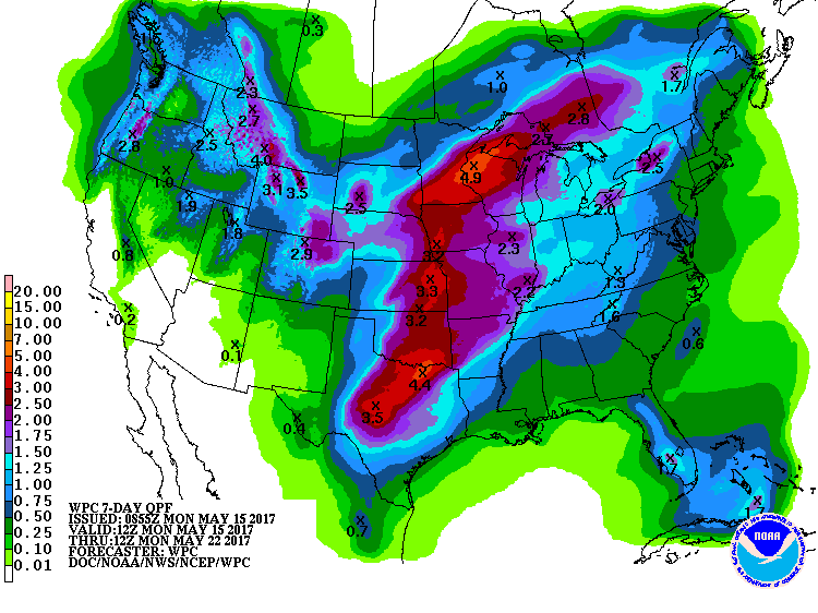
And the chance of showers will return for Friday, Saturday and Sunday. Some areas are likely to pick up at least 2 or 3 inches of rain during the next week.