A warm Mother’s Day; t-storm chance on Monday
If your mom likes warm temps, she'll love this Mother's Day forecast. Highs in the 80s are expected over much of southern and central Minnesota:

Northeastern Minnesota will be cooler, with highs in the 60s.
Some spots along the north shore of Lake Superior could top out in the 50s this Sunday afternoon, due to winds coming in off of the lake.
Monday will be another warm one for much of Minnesota:
Create a More Connected Minnesota
MPR News is your trusted resource for the news you need. With your support, MPR News brings accessible, courageous journalism and authentic conversation to everyone - free of paywalls and barriers. Your gift makes a difference.

Our average high temp is 69 degrees this time of year in the Twin Cities metro area. Metro area highs will be near 80 Monday, in the middle 80s Tuesday, then upper 70s on Wednesday.
Cooler highs, in the 60s, are expected on Thursday and Friday.
Thunder potential
Parts of northwestern Minnesota could see a Sunday afternoon shower.
Scattered showers and an isolated thunderstorm are also possible Sunday evening in northwestern and west-central Minnesota.
That chance of showers and an isolated t-storm will spread across the rest of northern Minnesota Sunday night.
The National Oceanic and Atmospheric Administration's North American Mesoscale Forecast system model shows the potential rain pattern:
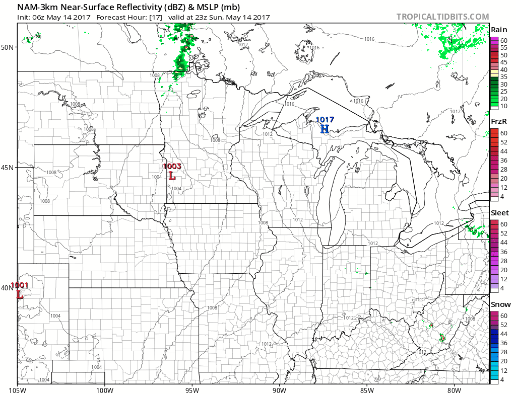
Minnesota will probably see some periods of thunderstorms from Monday evening through Monday night and early Tuesday morning:

The color chart to the right of the loop refers to the strength of the signal returning to the radar, not inches of rain!
Another batch of thunderstorms is expected Tuesday afternoon and Tuesday night.
Severe weather potential
The Storm Prediction Center of the National Weather Service shows a marginal risk of severe weather over southern and central Minnesota Monday and Monday night:

The main threat appears to be from late Monday afternoon through Monday night.
Marginal risk means that an isolated severe thunderstorm is possible.
The Storm Prediction Center of the National Weather Service also shows a marginal risk of severe weather over much of Minnesota Tuesday and Tuesday night:

The best chance of severe weather for this period would tend to be late Tuesday afternoon through Tuesday night.
You'll want to stay sky aware this week.
As always, we'll keep you updated on the weather on Minnesota Public Radio.
Programming note
You can hear my live weather updates on Minnesota Public radio at 7:49 a.m. Thursdays and Fridays, and at 7:35 a.m. and 9:35 a.m. each Saturday and Sunday.