Saturday rain and thunder; bright and dry on Sunday
It's ducky weather to start our weekend.
Rain totals from Friday evening through Saturday morning approached one inch in parts of the Twin Cities metro area.
Saturday morning's steady rains will be followed by occasional periods of scattered showers and thunderstorms Saturday afternoon and evening in southern and central Minnesota and the Twin Cities metro area.
The National Oceanic and Atmospheric Administration’s North American Mesoscale Forecast System model shows the potential rainfall pattern over Minnesota from late Saturday afternoon through Saturday night:
Create a More Connected Minnesota
MPR News is your trusted resource for the news you need. With your support, MPR News brings accessible, courageous journalism and authentic conversation to everyone - free of paywalls and barriers. Your gift makes a difference.
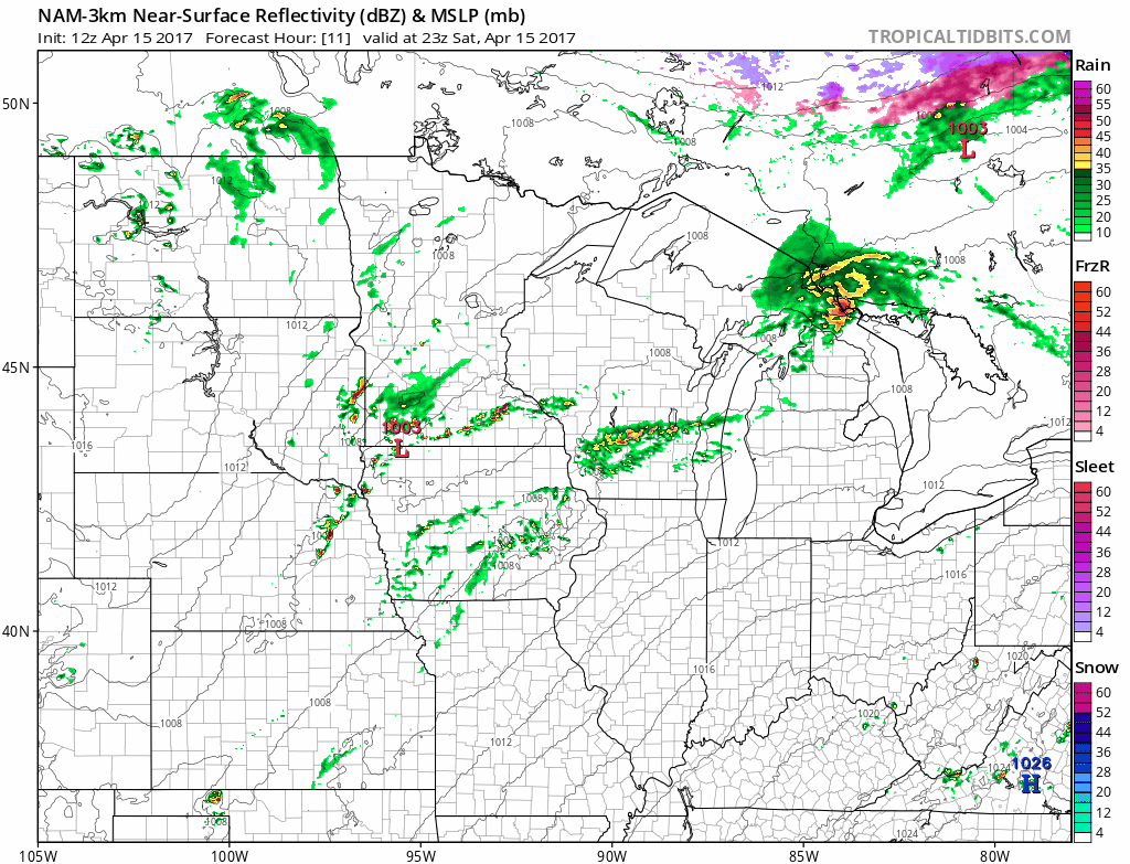
The color chart to the right of the loop refers to the strength of the signal returning to the radar, not inches of rain.
Many spots in Minnesota will have dry weather early Saturday afternoon, followed by occasional showers and thunderstorms later Saturday afternoon and Saturday evening.
Severe risk
The Storm Prediction Center of the NWS shows a marginal risk of severe weather Saturday and Saturday night for most of the Twin Cities metro area and much of southern Minnesota:

A marginal risk indicates that an isolated severe thunderstorm is possible.
If we do see an isolated strong to severe thunderstorm, it would tend to happen late Saturday afternoon or Saturday evening.
Houston county in far southeastern Minnesota has a slight risk of severe weather.
Minnesota Public Radio will keep you updated on the thunderstorms that develop.
Weather information will also be posted on the MPR news live weather blog.
The Storm Prediction Center will have updated severe weather info this afternoon and tonight.
You can also check with the Twin Cities office, La Crosse, WI office, Duluth office and Sioux Falls, SD office of the National Weather Service for severe weather updates.
Mild weekend temps
Much of Minnesota will see Saturday highs in the 60s.
Sunday will feature plenty of sunshine and highs in the 60s over southern and central Minnesota:

Northern Minnesota will see highs in the 50s on Easter Sunday, and a brief shower is possible near the Canadian border.
Twin Cities high temps on Monday will be around 60 degrees, followed by upper 50s Tuesday through Friday.
Scattered showers are possible Tuesday and late Wednesday, as well as Thursday.
Programming note
You can hear my live weather updates on Minnesota Public Radio at 7:49 a.m. Thursdays and Fridays, and at 7:35 and 9:35 a.m., plus 4:35 p.m., each Saturday and Sunday.