Rainy Friday night, Saturday PM; sunny Easter Sunday
Keep the umbrella handy.
Multiple waves of showers and a few embedded thundershowers blow through Minnesota this weekend. The first waves arrive in southern Minnesota and the Twin Cities through Friday night.
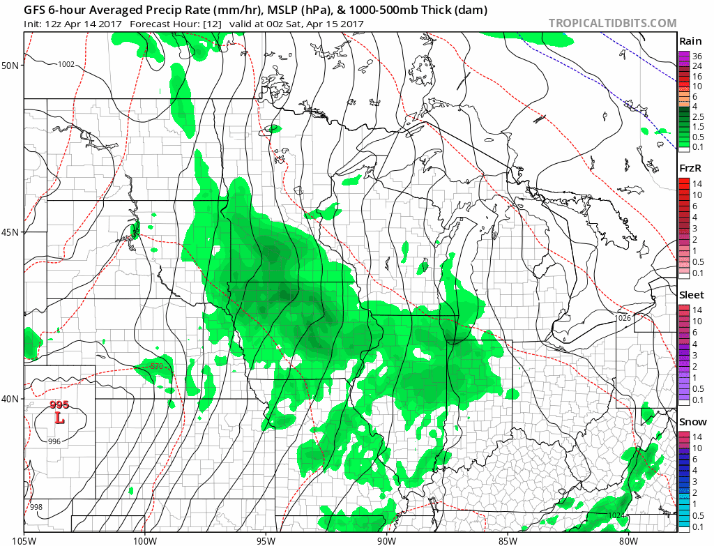
The National Oceanic and Atmospheric Administration's Global Forecast System model captures the essence of two main rainfall waves. One through Friday night. A second late Saturday afternoon and evening. Skies brighten for Easter Sunday, and abundant sunshine looks likely.
NOAA's High-Resolution Rapid Refresh model seems to fit the scenario. The heaviest rains through Saturday favor southeast Minnesota. The Twin Cities gets a soaking too. Rainfall totals of one-quarter inch to one-half inch seem reasonable for the Twin Cities. Heavier one-half inch to 1 inch-plus totals favor southeast Minnesota, Iowa and Wisconsin.
Create a More Connected Minnesota
MPR News is your trusted resource for the news you need. With your support, MPR News brings accessible, courageous journalism and authentic conversation to everyone - free of paywalls and barriers. Your gift makes a difference.

This Twin Cities NWS rainfall map includes Saturday's expected totals.
Marginal severe risk for southeast Minnesota Saturday
A few storms Saturday could be strong to marginally severe in southeast Minnesota. Severe weather is more likely for southwest Iowa and Kansas.

Sunny Easter Sunday
The sun returns for Easter Sunday. The day starts breezy, but winds should ease later in the afternoon. Temperatures in the 60s should feel pretty great both Saturday and Sunday afternoon.

Our semi-typical slow motion spring continues. Temps into next week stay in check. Daytime highs in the 50s and 60s are common. No early season heat spikes in sight just yet.

Long range pattern: Still soggy
The next rain wave arrives Tuesday. The overall pattern still looks wet the next two weeks. NOAA's GFS model still insists on multi-inch rainfall totals over the next 16 days.

Deadliest tornado day in Minnesota history
This is what keeps meteorologist us at night. When will 'the next big one' carve through a major metro area?
2nd warmest March globally
Don't look now but 2017 is on pace to be another top 10, maybe top 5 warmest year on record globally.
Tragic and significant effects of climate change
You break it you buy it?
El Nino on the way, again