Slow motion spring continues; peeks of sun ahead
You may want to find those long lost sunglasses in the next 24 hours.
Our fifth cloudy day in a row gives way to a few sunny peeks across parts on Minnesota this afternoon. Tuesday features abundant sunshine and milder temps. At least in theory.
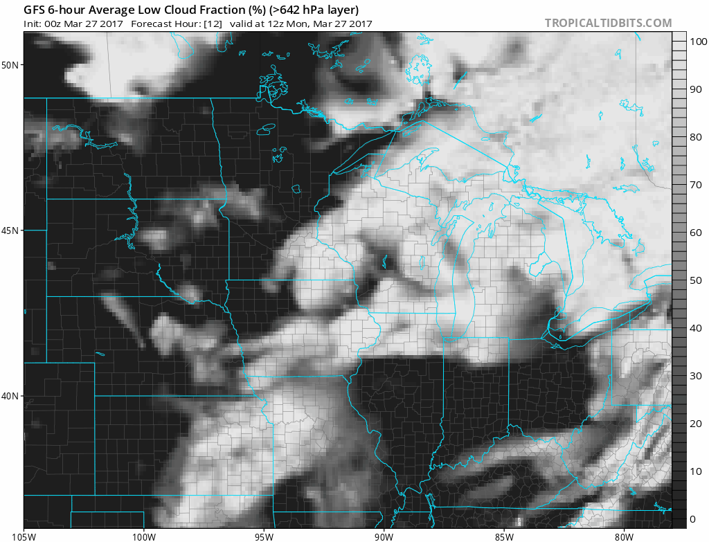
You know meteorologists are desperate for sun when we pull out the "low cloud fraction" maps. Our chances for sun increase by the hour this afternoon, and tomorrow.
Tuesday's sunshine should be enough to boost temperatures into the 50s across much of Minnesota. This looks more like spring.
Create a More Connected Minnesota
MPR News is your trusted resource for the news you need. With your support, MPR News brings accessible, courageous journalism and authentic conversation to everyone - free of paywalls and barriers. Your gift makes a difference.

Small step forward this week
Overall temps in the 50s will run about 5 to 10 degrees warmer than average this week. A few bank thermometers make a push toward the 60-degree mark Tuesday and next weekend.

Rain stays south
It looks like any significant rain will steer south of most of Minnesota this week. Another southern low-pressure system soaks Iowa. A few renegade showers may clip southern Minnesota Wednesday into Thursday.

Milder and relatively dry next two weeks?
Keep in mind average high and low temps for MSP this week are 48 and 29 degrees. With that baseline, you can see than highs in the 50s this week are 5 to 10 degrees warmer than average to close March. The first week of April looks even warmer. The jet stream still shows signs of a full-blown retreat into Canada the first week of April.

NOAA's medium-range forecast guidance has been flopping around a bit on the eventual magnitude of the warm up, but the trends are consistent. A few days well into the 60s the first week of April? That will feel great. The models also trend mostly dry for the next two weeks.

NOAA's Climate Prediction Center agrees with the notion of warmer than average temps as we move into April.

The "green wave" has already hit Kansas City, Mo., and it's moving north early this year.
A good year to get out west and enjoy the receding Rocky Mountain glaciers while you can?