Friday snow; still on track for ‘Wet Christmas’
This is one of the weirdest Christmas forecast I've ever worked on.
All major model guidance is still near consensus on the notion of a western low pressure track Christmas day. That solution brings a massive warm surge, with temperatures in the 40s and heavy rain and thunder to much of Minnesota by Christmas night.
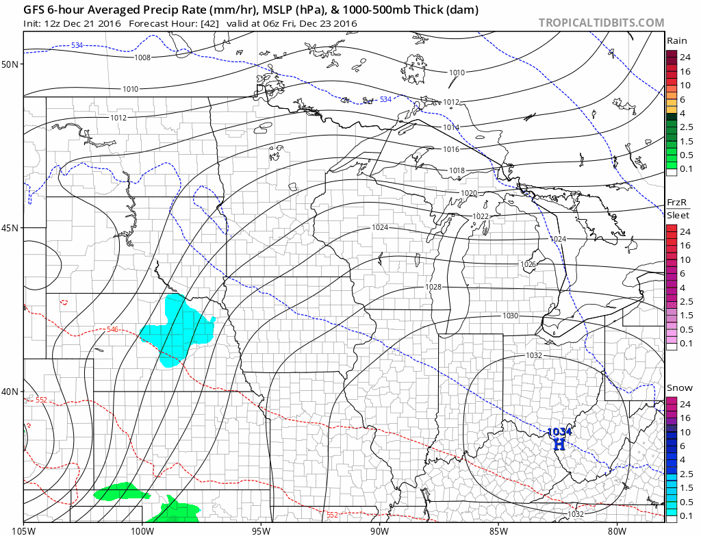
First, a couple more freeze-thaw cycles. Temps spiked to 41 degrees today at MSP Airport. Snow covered streets melted off today, a sign of things to come by Sunday night. I'm also tracking a minor snow system Friday that could bring another inch or so of slushy accumulation to the Twin Cities, southeast Minnesota and Wisconsin.
Create a More Connected Minnesota
MPR News is your trusted resource for the news you need. With your support, MPR News brings accessible, courageous journalism and authentic conversation to everyone - free of paywalls and barriers. Your gift makes a difference.
41 degrees - high temp at MSP Airport Wednesday
25 degrees - average high for December 21st
+16 degrees vs. average
Light snow Friday
A minor wave brings a shot of light snow to southern Minnesota Friday. This doesn't look like a biog deal, but I could see an inch or two at the outside for some towns.
Christmas storm: Western track prevails
The model consensus for our Christmas low pressure storm continues to favor a western track solution. That track produces a wintry mix-to rain-to snow sequence of events. Most of the precip would fall as rain in this scenario for the Twin Cities.

The European model concurs with the notion of potentially heavy rain Christmas Day and night. Travel still looks good on Christmas Eve and Monday.

Impressive warm surge
The amount of warm air this storm is pulling north is nothing short of eye-opening for late December. A warm advection tongue should push temps close to 50 in far southern Minnesota Christmas Day.

Red River Valley: Big wet snow
Heavy snow still looks likely for the Red River Valley, northwest and far northern Minnesota.

Here's the latest storm view form the Duluth NWS office.

Bottom line: A windy and wintry mix changes to all rain across most of southern Minnesota Christmas Day. A burst of wet snow rides the back side of the system early Monday. Up north and icy mix with heavy snow in the Red River Valley.
Stay tuned for any possible track changes that could effect the forecast.