Metro escapes frost, 70 by Saturday!
Welcome to another free ride on Minnesota's weather roller coaster.
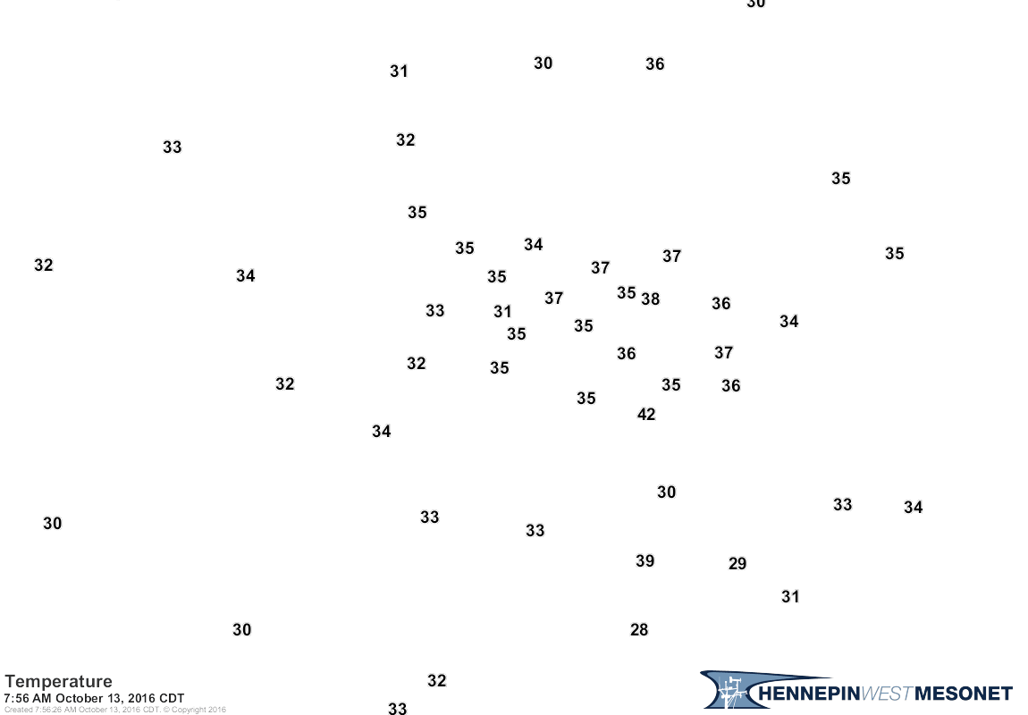
Most of the Twin Cities escaped frost this morning, as clouds lingered longer than anticipated and the urban heat island combined to keep temperatures just above freezing for most of the metro.
Check out temperatures around sunrise this morning via the Hennepin West Mesonet.

Most of southern Minnesota dipped below freezing. Lakeville hit 30 in the south metro. I saw 28 at Pipestone and Albert Lea this morning.
Create a More Connected Minnesota
MPR News is your trusted resource for the news you need. With your support, MPR News brings accessible, courageous journalism and authentic conversation to everyone - free of paywalls and barriers. Your gift makes a difference.
Long growing season
The temperature at MSP Airport last bottomed out at 27 degrees April 12th. Today marks 184 days since the last freezing temp at MSP. Looking at the maps, I believe we'll get at least another week of above freezing temps at MSP, and maybe 10 days.
167 days average growing season at MSP Airport (1981-2010)
184 days growing season so far at MSP in 2016
191+ days latest growing season forecast (based on current forecast maps)
Historically, growing seasons over 190 days are rare at MSP. So this could be one of the top 5 longest growing seasons on record at MSP Airport.

Forecast: Warm front
The sun is back today into Saturday. Warmer breezes return as the next warm front blows in tomorrow with a stiff southerly breeze.

Nicer weekend ahead?
This weekend is looking warmer and drier than a few days ago. Saturday's shower coverage looks spotty, with any rainfall totals light. A few showers may arrive Sunday, but again coverage looks to be less aggressive than earlier in the week. We may just sneak out one more really nice late summer like weekend. Highs push 70 Saturday afternoon from the metro south with 60s up north.

Enjoy the sunshine and the warm up ahead.
Bermuda braces for direct hit from Nicole
This is one image you don't want to see. Check out this tweet from Bob Henson at Weather Underground who was my guest last week in The Weather Lab.
Major Hurricane Niciole is likely going to put a direct hit on Bermuda in the next 24 hours.

BULLETIN
HURRICANE NICOLE INTERMEDIATE ADVISORY NUMBER 37A
NWS NATIONAL HURRICANE CENTER MIAMI FL AL152016
800 AM AST THU OCT 13 2016
...EXTREMELY DANGEROUS HURRICANE NICOLE CLOSING IN ON
BERMUDA...
SUMMARY OF 800 AM AST...1200 UTC...INFORMATION
----------------------------------------------
LOCATION...31.6N 65.2W
ABOUT 55 MI...85 KM SSW OF BERMUDA
MAXIMUM SUSTAINED WINDS...125 MPH...205 KM/H
PRESENT MOVEMENT...NNE OR 30 DEGREES AT 15 MPH...24 KM/H
MINIMUM CENTRAL PRESSURE...953 MB...28.14 INCHES
We could be looking at major damage in Bermuda.