A little snow later on Tuesday
The Twin Cities had an official low of 13 below zero Monday morning, while Embarrass, Minn., was the cold spot at 34 below.
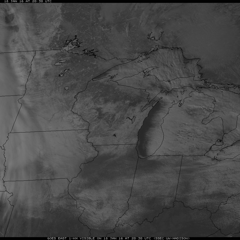
Afternoon temperatures did not warm very effectively thanks to the Arctic air, snow cover and a blanket of low clouds that covered much of western and southern Minnesota. Some of the clouds were so thin that the Minnesota River Valley was visible through them from a weather satellite.
The clouds have begun to erode from the east so much of the state will be able to cool again tonight. Lows Tuesday morning should range from around zero in the cloudy southwest to about 20 below in the clear north. The Twin Cities should drop to around 10 below.
The arctic chill will begin to move off to the east on Tuesday. Highs on Tuesday should range from around 5 to about 15 degrees.

Accompanying the less-frigid air will be a disturbance likely to drop a little light snow Tuesday and Tuesday night. Most accumulations will be less than an inch except for a good chance of 1 to 2 inches in the southwest corner of the state.
Significantly milder Pacific air is on track to arrive over the weekend. Some spots in southern Minnesota might touch the low 30s Sunday afternoon.

The arrival of fresh Canadian air will lower our temperatures again next Monday and Tuesday, but just back to around normal for the season.
Create a More Connected Minnesota
MPR News is your trusted resource for the news you need. With your support, MPR News brings accessible, courageous journalism and authentic conversation to everyone - free of paywalls and barriers. Your gift makes a difference.