Smoky skies return, State Fair 90s ahead?

"Attention Minnesota. Our August weather daydream continues until further notice."
Yes, you too can bask under a warm August sun, bathe in balmy waters and languish in gentle summer breezes.
Polar Vortex? Hah!
Create a More Connected Minnesota
MPR News is your trusted resource for the news you need. With your support, MPR News brings accessible, courageous journalism and authentic conversation to everyone - free of paywalls and barriers. Your gift makes a difference.
Okay...maybe not a good idea to tempt the weather fates in Minnesota, even in usually safe mid-August.
Our weather winning streak continues for most of the weekend. Yes, there will be a few scattered thundershowers that favor the southwest corner of Minnesota, but rainfall totals look generally light and spotty through this weekend. Chances are you'll see many more hours of sun than rain this weekend.
[image]
You'll notice more humidity in the air as dew points climb into the mid 60s by Friday afternoon. Showers will be scattered. Here's a more detailed forecast breakdown as we move toward the weekend.
Friday is the new Saturday, right?

Smoke returns
You may have noticed a little more milky white sky over Minnesota, and some enhanced reddish tones at sunset lately.

That's because the smoke plume from wildfires in the U.S. and Canadian Rockies is back.

Here's the latest smoke mapper from NOAA's fire detect viewer.

The thin smoke plume should be good for enhanced reddish tones at sunrise and sunset as the smoke plume is efficient at scattering out blue wavelengths, and allowing more of the red through.
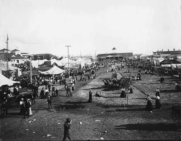
State Fair heat wave?
The upper air charts still favor Minnesota on the northern edge of a heat dome late next week. Odds of 90 degrees and stuffy dew points near 70 appear to be increasing for the opening days.
Here's the rundown on State Fair weather history from the Minnesota Climate Working Group:
It's time once again for the "Great Minnesota Get Together." Weather plays quite a role in the State Fair experience. Who doesn't remember braving the heat with the crowds on one of the busier intersections on a sweltering afternoon? A quick rain burst will send people scurrying for cover, and folks savor balmy days in the 70s with just a bit of a breeze. Below are some State Fair weather facts and some interesting weather events that have happened in past Minnesota State Fairs.
The State Climatology Office looked at the weather at the Minnesota State Fair from when the current site was established in 1885 to 2012.
There can be some spells of hot weather during the Minnesota State Fair. The hottest day in the history of the Minnesota State Fair was on September 10, 1931 with 104 degrees. The hottest average temperature for the duration of any state fair back to 1885 is also 1931 with 92.6 degrees. Note that the Minnesota State fair in 1931 ran eight days from September 5-12. 2012 had the fourth warmest average maximum temperature with 87.1 degrees. The coolest Minnesota State fair was during the six day run of the fair from September 5-10 1898 with an average maximum temperature of 64.2 degrees. The coldest maximum temperature for the fair is 52 degrees on September 7, 1911 and the coldest minimum temperature is 33 degrees on September 13, 1890. The coolest fair morning in recent years was a chilly 36 degrees on September 1, 1974.
On average it rains about 3 to 4 days during the fair's 12 day run. The wettest fair was in 1977 with 9.48 inches, and the driest fair was 2003 with only .02 inch of rain.
Hooray for Waseca
You know you have committed weather observers when you can string together a century of daily observations. Our local NWS honors Waseca next week for that excellent contribution.
My MPR colleague and University of Minnesota climate guru Dr. Mark Seeley has more on Waseca and emerging dryness in southern Minnesota in this week's Weather Talk.

Topic: Dry in southern Minnesota
Most climate observers have reported less than an inch of rainfall since the last week of July, and in southern counties a number of observers report less than a half inch. Some crops are showing symptoms of drought stress in these southern areas.
As a result of the rainfall deficiencies, the U.S. Drought Monitor placed portions of Freeborn and Faribault Counties in the abnormally dry category (D0) this week. This is the first return of any drought designation in the state since the week of June 10th.
Topic: Congratulations to Waseca
Congratulations are in order for the University of Minnesota Research and Outreach Center at Waseca, MN. The NOAA National Weather Service will honor them with a 100 year award at a ceremony on Wednesday, August 20th next week. Staff there have provided 100 years of daily weather observations for Waseca County, a rich data base that has served the agricultural community, energy and water providers, and the insurance industry among many others.