Saturday sleet, season’s first flakes favor northland Sunday
Saturday sleet storm
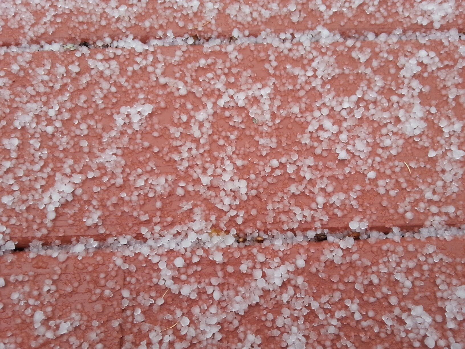
It was a loud awakening for the winter of 2013-'14 just after lunchtime Saturday in the Twin Cities.
A band of heavy sleet showers rolled through the Weather Lab for about 5 minutes, and this is the result. There was enough sleet to coat the deck at the Weather Lab in the west metro.

The sleet (ice pellets) made quite a commotion as they pounded the deck and sidewalks.
Create a More Connected Minnesota
MPR News is your trusted resource for the news you need. With your support, MPR News brings accessible, courageous journalism and authentic conversation to everyone - free of paywalls and barriers. Your gift makes a difference.
Season's first flakes?
Sunday may bring another sight not seen in Minnesota for months.
A weak clipper type low spins through Sunday. It looks cold enough to produce the season's first flakes for parts of Minnesota. The system's rain snow line appears to be set up right in the Twin Cities Sunday morning.

The best chance of some 'accumulating' renegade snow squalls will be north of the Twin Cities toward Brainerd, Lake Mille Lacs, and Hinckley... but I can't rule out few snowflakes in the Twin Cities Sunday morning, before precip trends toward chilly October rain showers.

It may snow long enough to see some (brief) grassy accumulations north of the metro Sunday. NOAA's NAM and GFS models hint at as much as an inch falling from the sky in the north metro...most of which should melt on contact.

It's not time to get the shovels out just yet, but don't be surprised to see the season's first snowflakes in the Twin Cities Sunday.
Welcome to October in Minnesota...land of crisp nights and spectacular fall colors, and apparently sleet and snowflakes.
Chill-tober Weekend Our November-like chill is here to stay. Frost is likely in the metro suburbs the next several nights and will gradually creep into the downtown areas. Days are numbered for the growing season which began with the last 32 degree temp at Minneapolis-St. Paul International Airport on April 24. Here's a look at where temps bottom out according to the Euro model the next few nights. Image: Weatherspark