Brief Indian Summer; Fall returns midweek; Amazing 24 mile “atmospheric freefall”

18F frigid low temp in Embarrass this morning!
Coldest temperature reading in the lower 48 states today
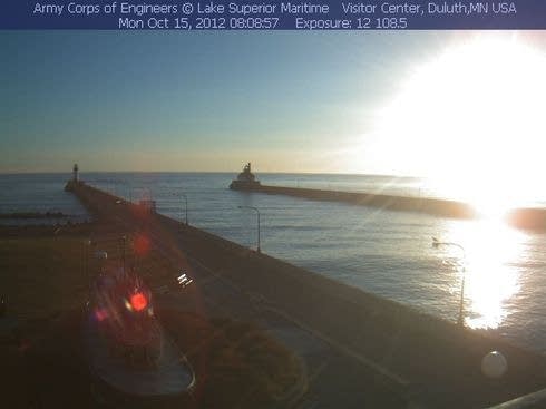
Sunrise in Duluth
Create a More Connected Minnesota
MPR News is your trusted resource for the news you need. With your support, MPR News brings accessible, courageous journalism and authentic conversation to everyone - free of paywalls and barriers. Your gift makes a difference.
Image: Lake Superior Marine Museum webcam
60s return today Sunny start with PM clouds
Indian Summer 70s by (briefly) Tuesday?
[image]
128,097 feet height above earth Felix Baumgartner jumped out of his capsule Sunday
833.9 mph top speed of Felix's free fall (Mach 1.24)
4 minutes 19 seconds time it took to reach earth near Roswell, New Mexico
Shower chances this week...
Source: Twin Cities NWS
Tuesday should finally bring "Indian Summer" to Minnesota according to the official definition from AMS.
Indian summer--A period, in mid- or late autumn, of abnormally warm weather, generally clear skies, sunny but hazy days, and cool nights.
In New England, at least one killing frost and preferably a substantial period of normally cool weather must precede this warm spell in order for it to be considered a true "Indian summer." It does not occur every year, and in some years there may be two or three Indian summers. The term is most often heard in the northeastern United States, but its usage extends throughout English- speaking countries. It dates back at least to 1778, but its origin is not certain; the most probable suggestions relate it to the way that the American Indians availed themselves of this extra opportunity to increase their winter stores. The comparable period in Europe is termed the Old Wives' summer, and, poetically, may be referred to as halcyon days. In England, dependent upon dates of occurrence, such a period may be called St. Martin's summer, St. Luke's summer, and formerly All-hallown summer.
Supersonic Skydiver falls 128,097 feet through the atmosphere in just over 4 minutes.
[image]
Our atmosphere is thinner than you might think. What are you thinking when you launch and step off 24 miles above the earth?
Image: Gizmodo
Details from Gizmodo, phys.org and The Weather Channel.
Tornado Drought 2012: Fewest Iowa tornadoes in almost 50 years
It's tough to get tornadoes when it won't even rain. Iowa has (thankfully) managed only 16 tornadoes so far in 2012. That's the fewest since 1963.
Details from The Gazette in Cedar Rapids, Iowa.
With all the worry this summer about the hot, dry weather, hardly a word was said about those usual staples in Iowa -- severe thunderstorms and tornadoes.
For good reason.
State Climatologist Harry Hillaker reports the state is on track to record the fewest tornadoes in almost 50 years.
"It's been an extremely quiet year." Hillaker said. "Fewer thunderstorms means there's fewer opportunities to get tornadoes."
Barring a twister forming out of the violent weather predicted for today, Iowa will have recorded just 16 tornadoes.
"Say that number holds up, that is the lowest total since 1963," Hillaker said.
As you can see, the great drought of 2012 has decimated tornado numbers in 2012.
Close Call with giant Aussie Dust Devil:
I've seen my fair share of these swirling through the Arizona deserts, but never any this big. Video courtesy of The Weather Channel.
NOAA: Change in Arctic winds may affect USA & European weather patterns:
Image from the North Pole webcam shows (July 27, 2010) ponds created by the summer sea ice melt.
Image: NOAA
We're starting to learn more about connections between patterns in the Arctic and what they mean for weather in the mid-latitudes.
NOAA has observed a shift in Arctic winds since 2007 that may be slowing down weather systems and increasing the likelihood of prolonged drought and flood as weather patterns stall in place.
A research team led by James Overland, Ph.D., of NOAA's Pacific Marine Environmental Laboratory in Seattle, Wash., examined the wind patterns in the subarctic in the early summer between 2007 and 2012 as compared to the average for 1981 to 2010. They discovered that the previously normal west-to-east flowing upper-level winds have been replaced by a more north-south undulating, or wave-like pattern. This new wind pattern transports warmer air into the Arctic and pushes Arctic air farther south, and may influence the likelihood of persistent weather conditions in the mid-latitudes.
These shifts in winds not only affect weather patterns throughout the Arctic but are also thought to influence weather in Greenland, the United States, and western Europe. Understanding such links is an ongoing area of research, the scientists said. The effects of Arctic amplification will increase as more summer ice retreats over coming decades. Enhanced warming of the Arctic affects the jet stream by slowing its west-to-east winds and by promoting larger north-south meanders in the flow. Predicting those meanders and where the weather associated with them will be located in any given year, however, remains a challenge.
PH