
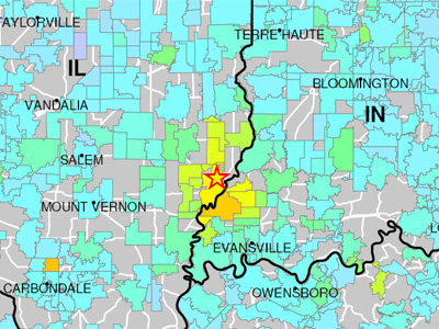
There was an earthquake in the Midwest today. The epicenter was in southern Illinois and apparently caused only minor damage.
The U.S. Geological Survey, keeper of the cool instruments that tell us the numbers, has a great idea: an online space where people can report how violent — or not — the earthquake was in their area. Unfortunately, at this point, it’s all about the numbers, and there’s no “community” space yet where people can share their stories, but the possibilities for quickly getting the information and then being able to plot it all on a map are enormous.
How common are earthquakes in Minnesota? Not very. The last one was February 9, 1994, a rip-roaring 3.1 centered in south-central Minnesota. In November 1968, another earthquake in south-central Illinois was strong enough to be felt in the Austin-to-Rochester area. The last strong earthquake in Minnesota was a 4.6 quake that cracked foundations in Stevens and Morris counties in 1975.
So I’m probably wasting my time asking you for stories of any time you felt an earthquake. I was in San Francisco last October for our 25th wedding anniversary. A fairly strong earthquake — at least by Minnesota standards — struck the San Jose area. We didn’t feel a thing although everyone on the street was talking about it. On the day after my first son was born, a 5.3 earthquake struck nearby Armonk,